
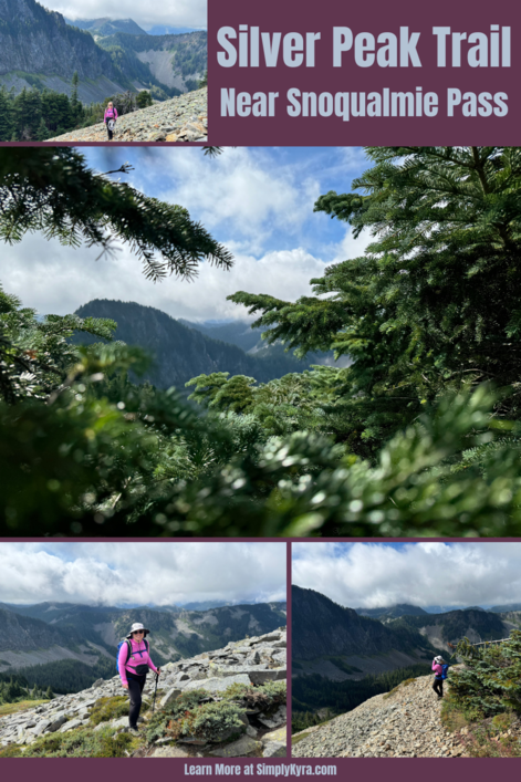
Silver Peak Trail Near Snoqualmie Pass

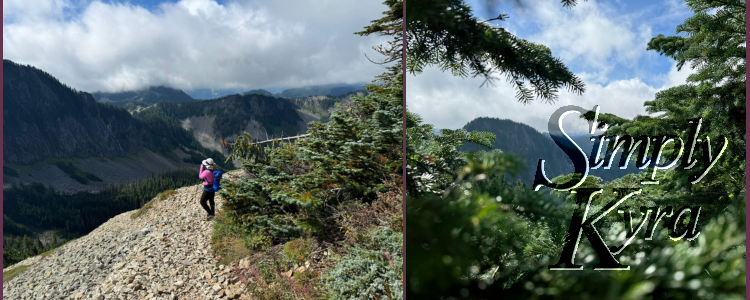
Back in September 2024, I hiked most of Silver Peak Trail (which traces the southern wall of Snoqualmie Pass) with a friend. It was too beautiful not to share!
The trail took longer than expected, so we stopped for a snack before turning back just shy of the final ascent. Even without summiting, the views were incredible, and I thought you might enjoy coming along for this photo adventure.
Good to Know
Road
The final few miles are extremely bumpy, with potholes and narrow sections that add to the challenge. Choose your vehicle wisely.
Parking Pass
You will need a Northwest Forest Pass or America the Beautiful Pass to park. From what I remember there wasn’t a payment station so plan ahead.
Facilities
There’s no toilet at the trailhead or along the trail so make a stop beforehand.
Trail Awareness
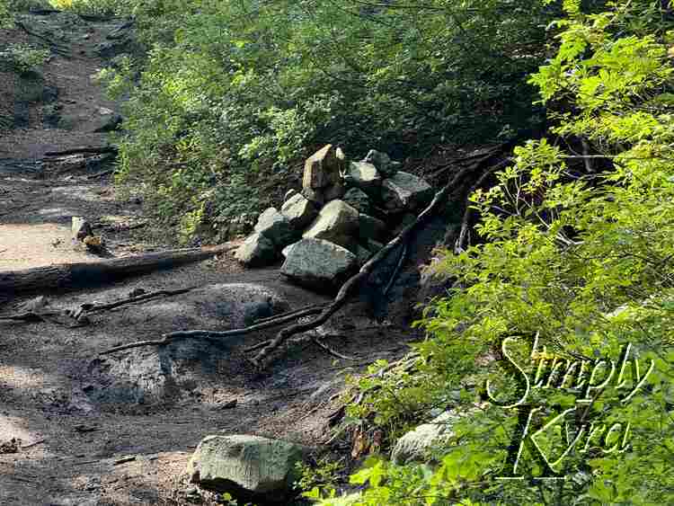
We downloaded the trail ahead of time but still almost missed a turn. The trail starts out on the Pacific Crest Trail (PCT) then about 1.7 miles from the trailhead it turns off. I saw several reviews mentioning piled rocks there and we still almost missed it.
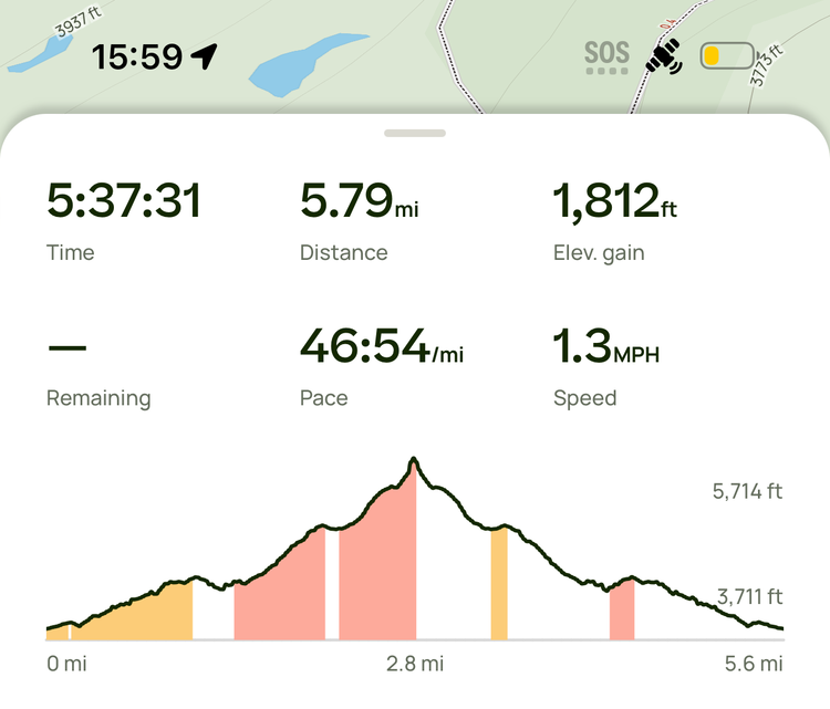
Activity Burn
In case you're curious here's the AllTrails activity burn overview.
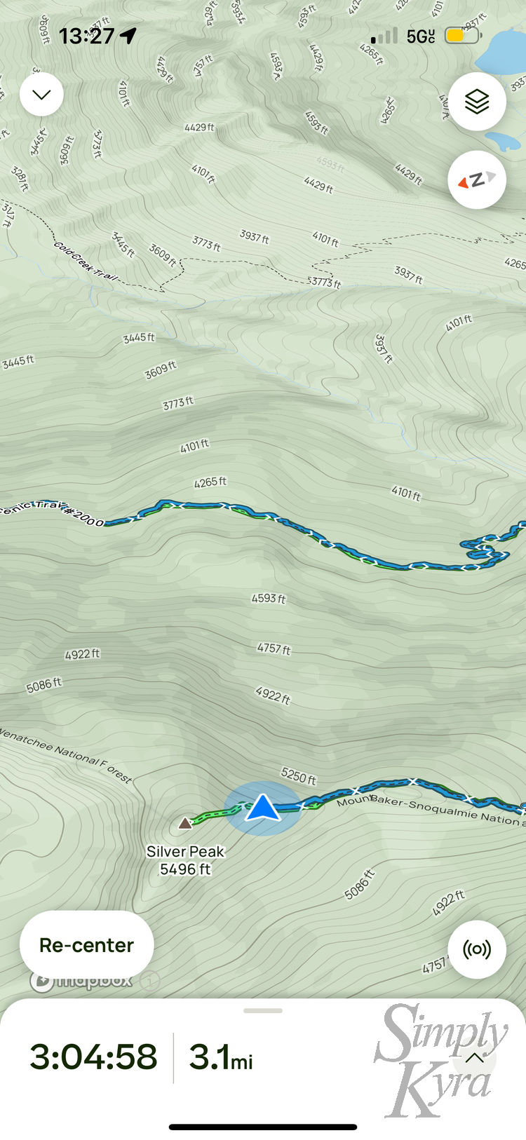
Map
We turned back before what I'm assuming is the final ascent so if you look close you can see the green ending before the peak's tip.
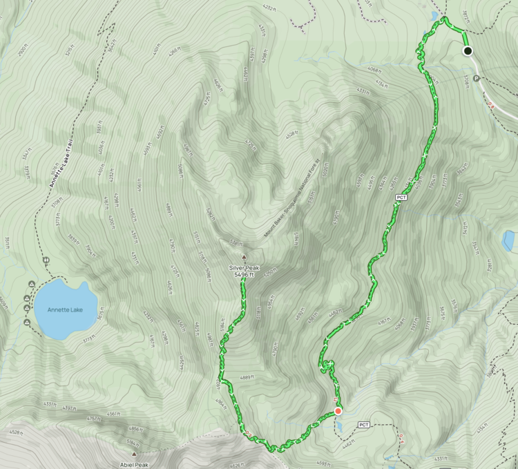
I love switching to map in the Photos app and being able to pick out the trail based on the photo history.

Plan Ahead
This hike was done back in September of 2024. Be sure to check out more up to date information. Two good sources can be found through Washington Trail Association or AllTrails which includes a downloadable map and more information like whether the road is closed or not.
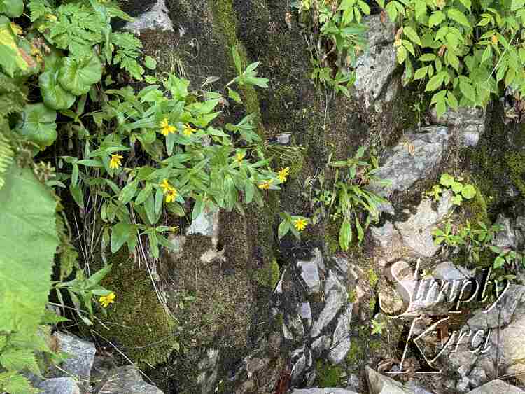
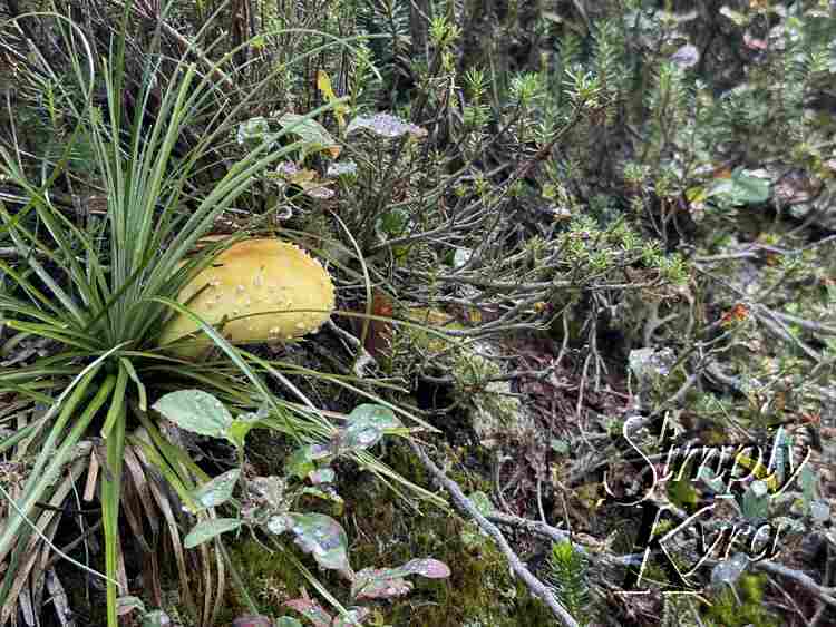
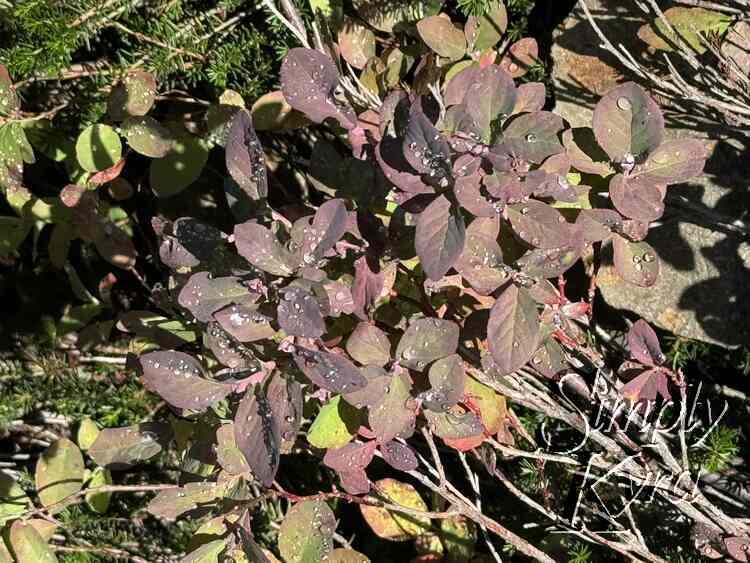
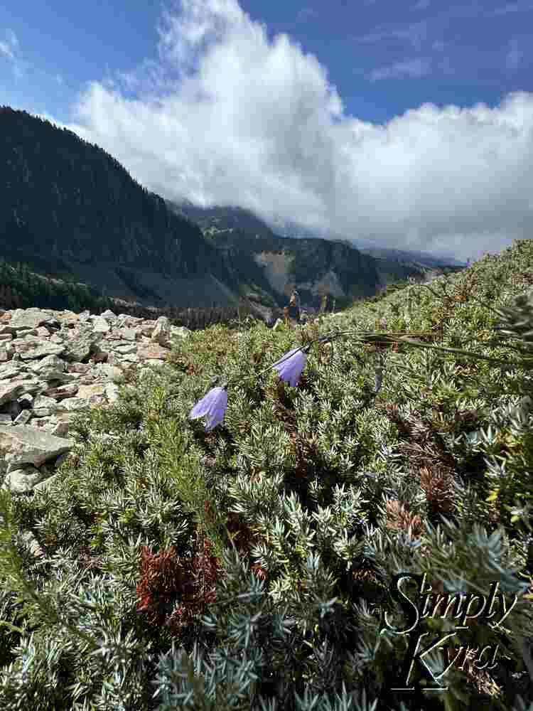
Berries
We saw dark stains on rocks (maybe from berries and critters) though no actual berries during our hike. Later I found several reviews mentioning them earlier in the season.
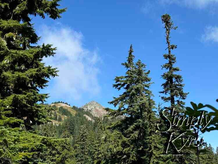
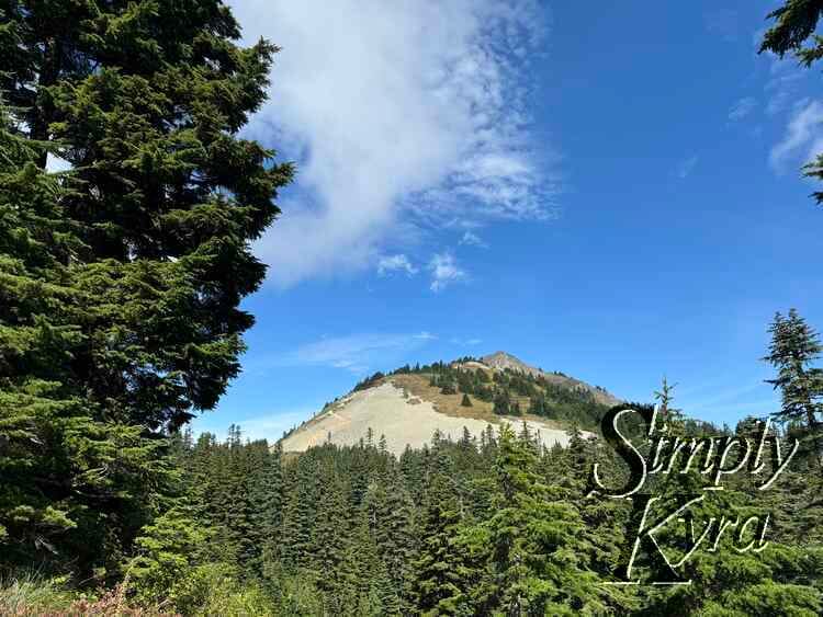
Silver Peak Trail
This is a there and back hike so be sure you have enough food, energy, and time to return. We ran out of time and so turned back before getting to the very end.
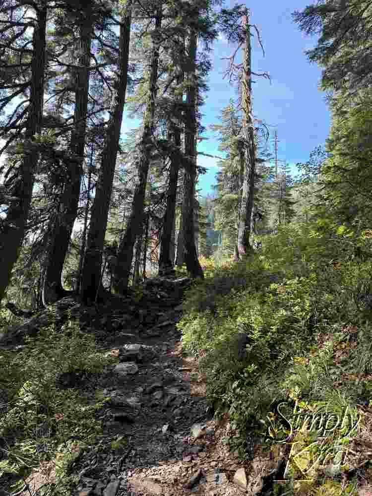
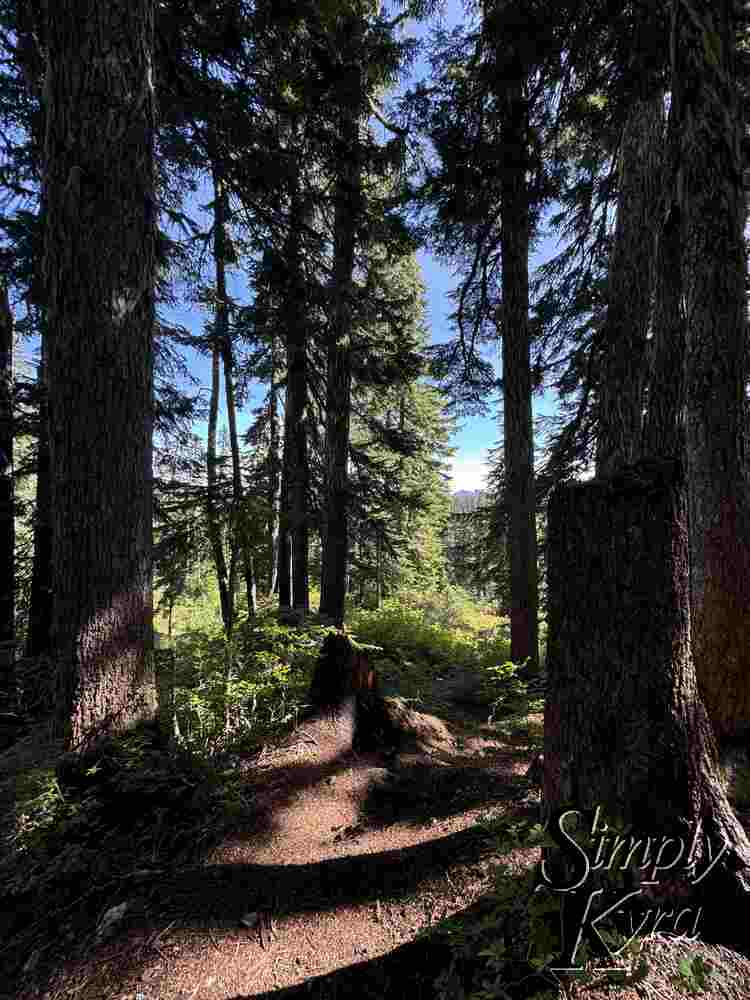
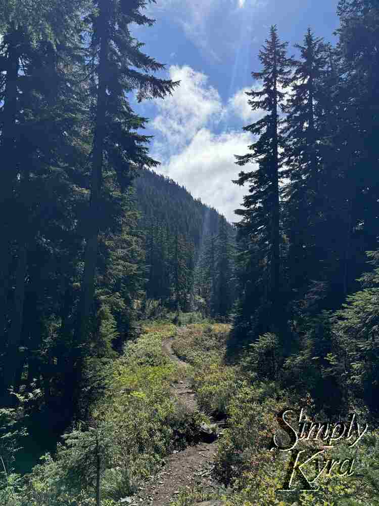
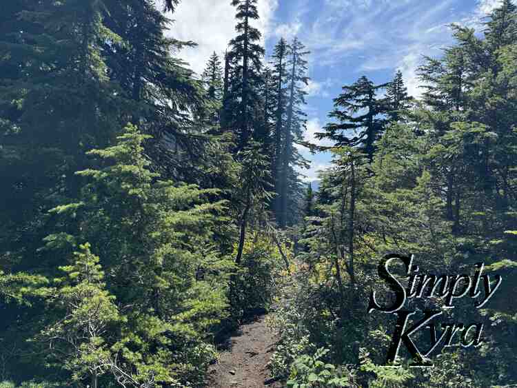
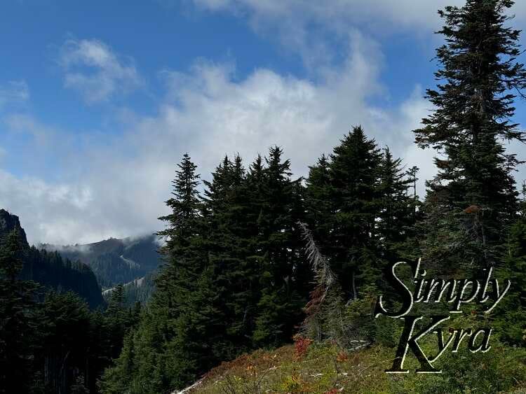
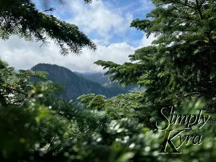
Pacific Coast Trail
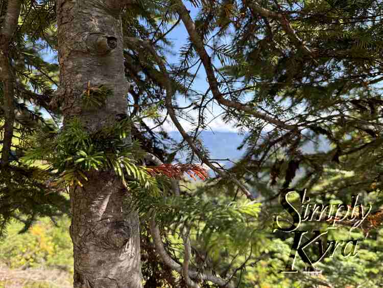
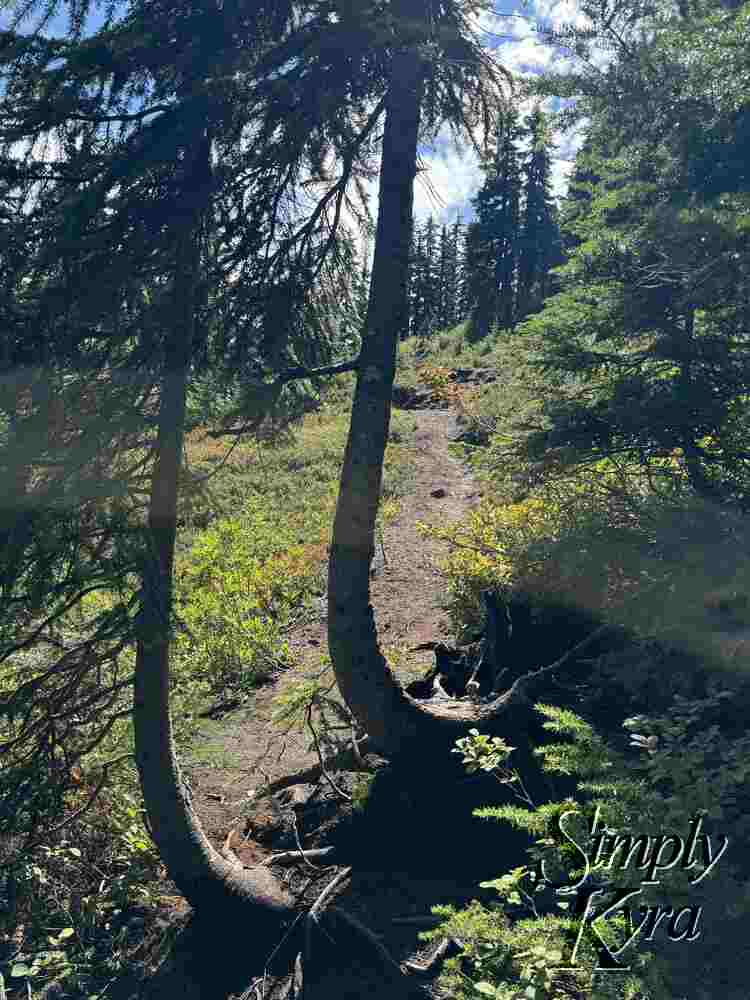
The first bit of the trail was the easiest bit. It was also shared with the famous Pacific Crest Trail so you may pass other longer term hikers.

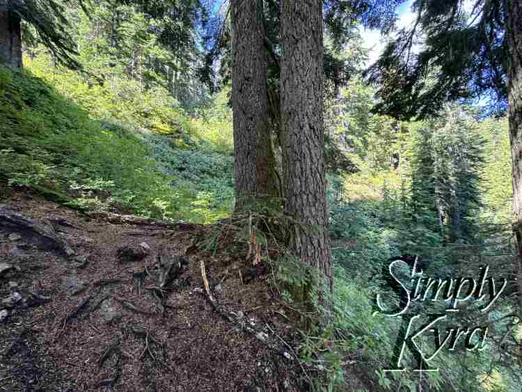
Turn Off!
About 1.7 miles from the trailhead there's a pile of rocks at the side of the trail. When you see it be sure to turn off the path, go past the rocks. rather than walking straight past them to the left.
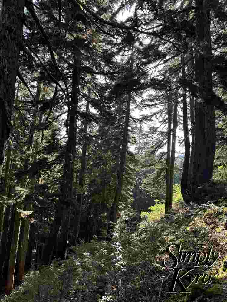
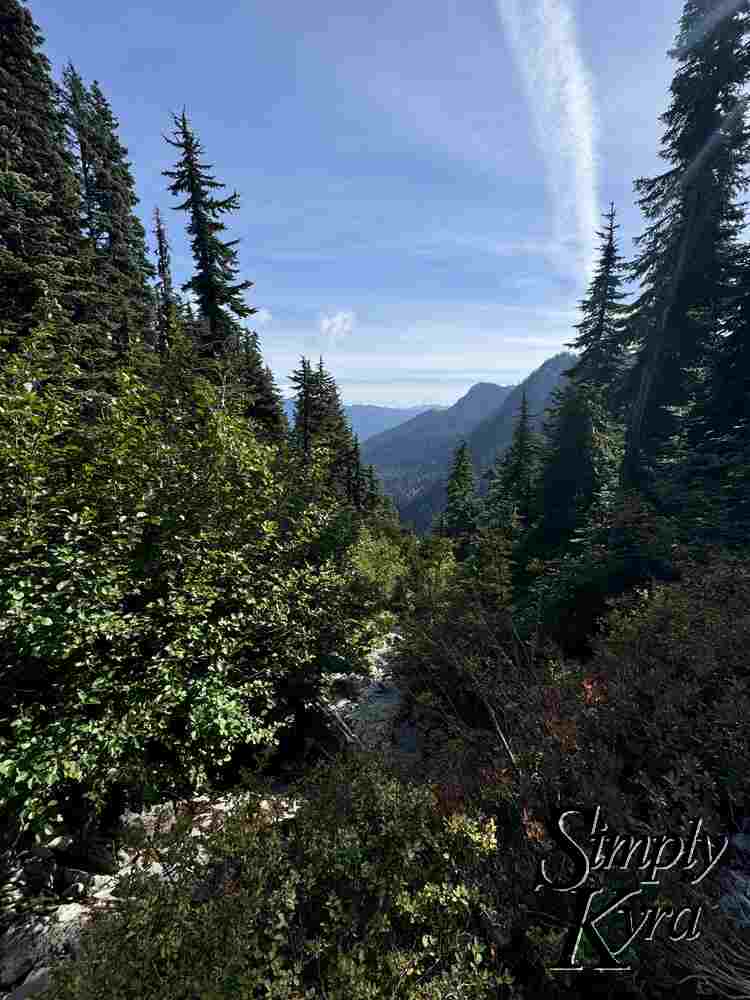
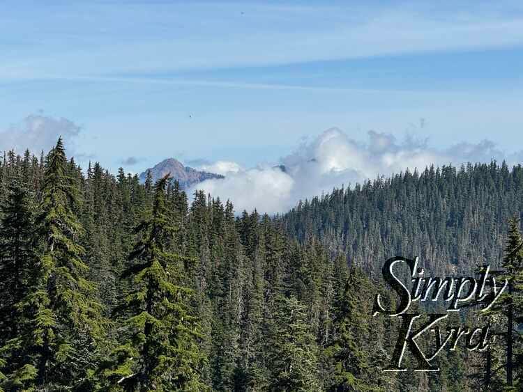
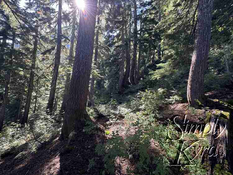
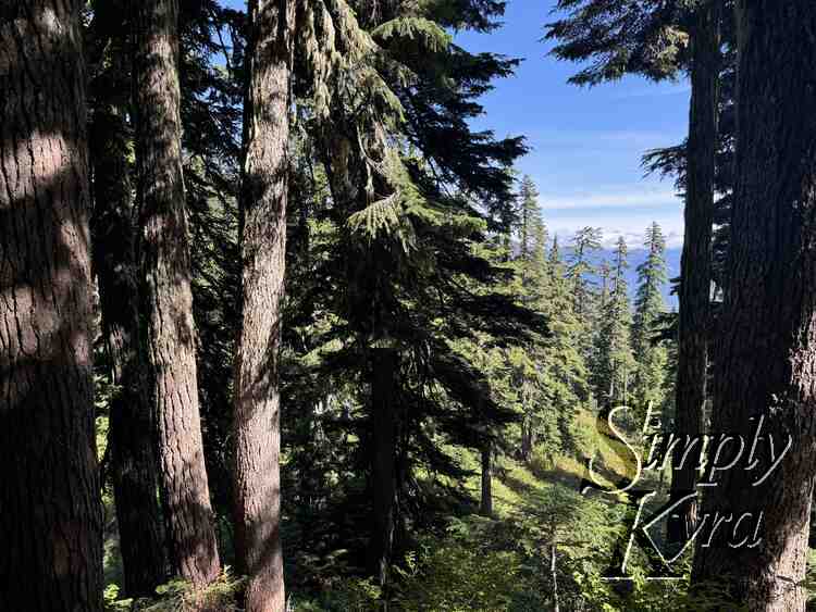
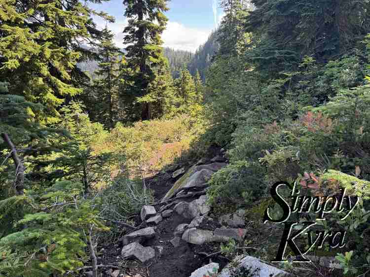
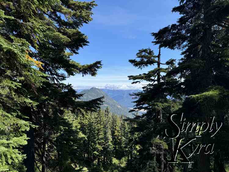
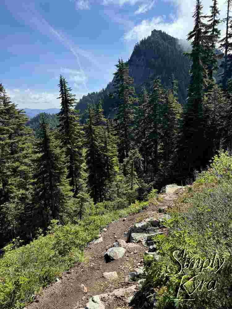
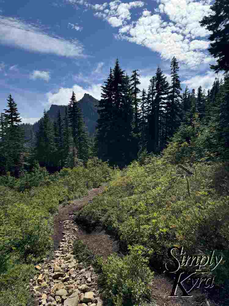
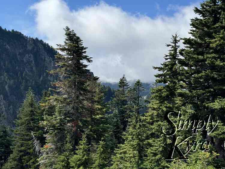
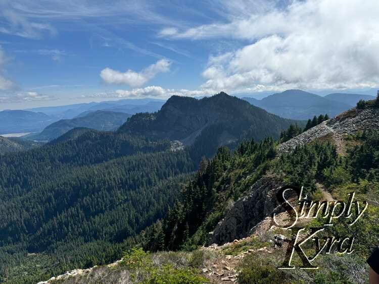
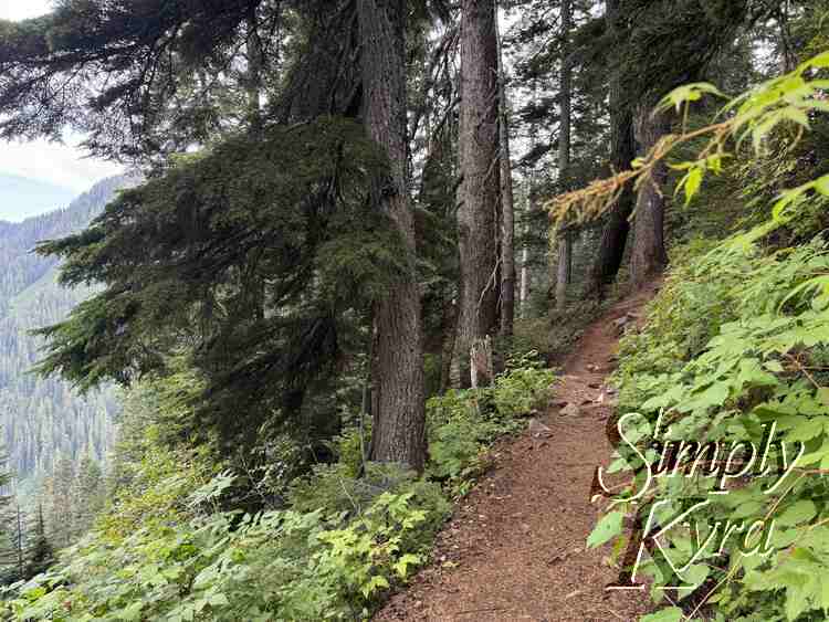
Heading Up
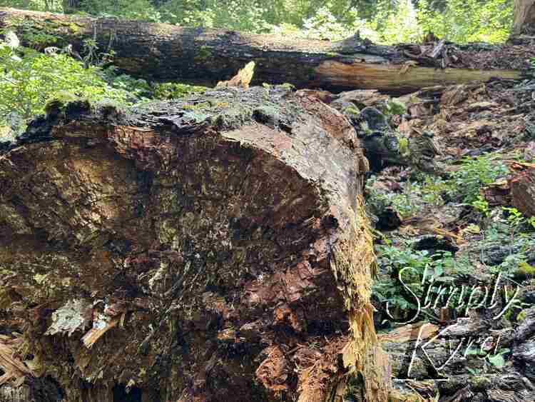
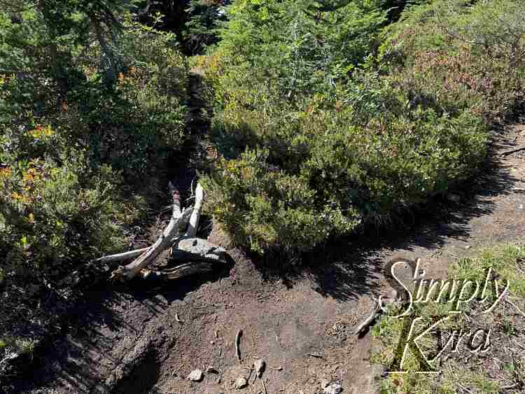
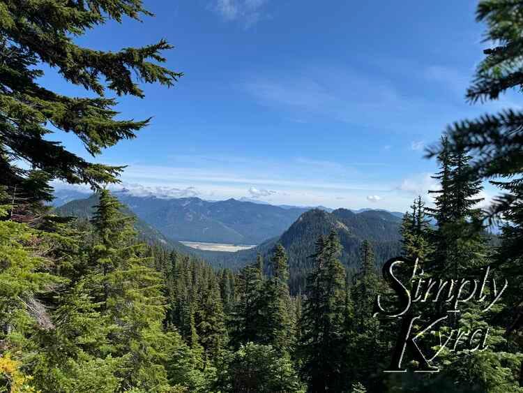
From there you start heading up seeing epic sights on the way. Several times I noticed trails that had been closed with logs and/or rocks blocking the path. Be sure to keep an eye on your map to confirm you're going the right way.
Quick Climb
After awhile you'll need to scramble up a small section. It's scarier going down and not too bad.
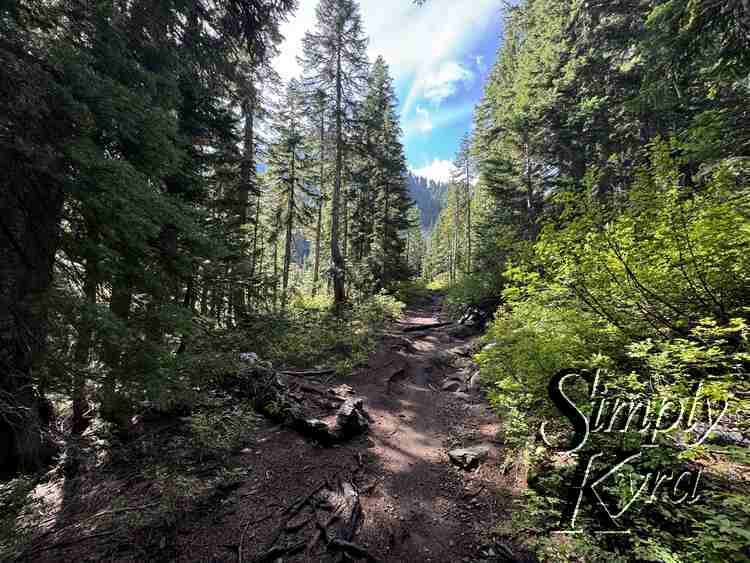
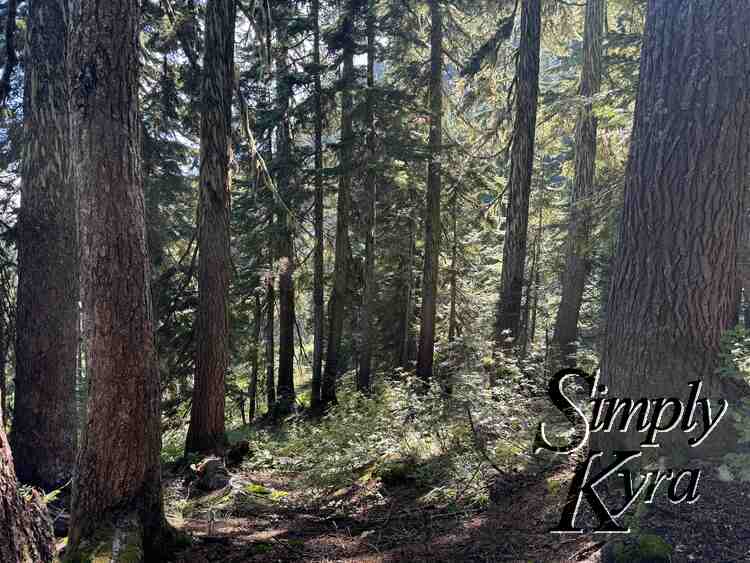
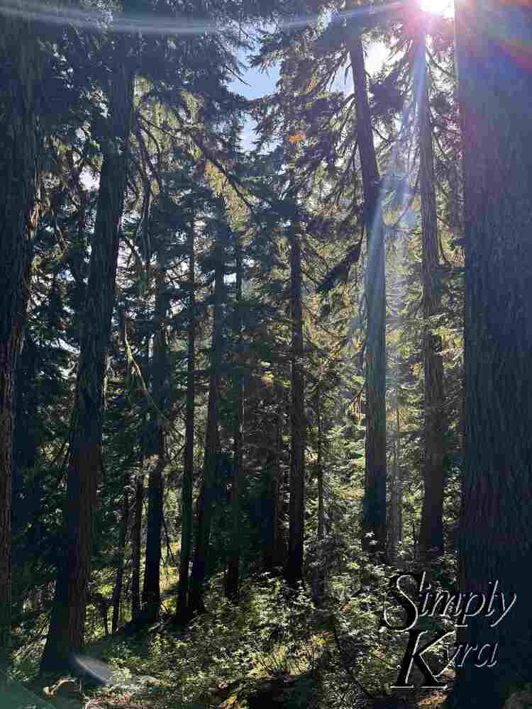
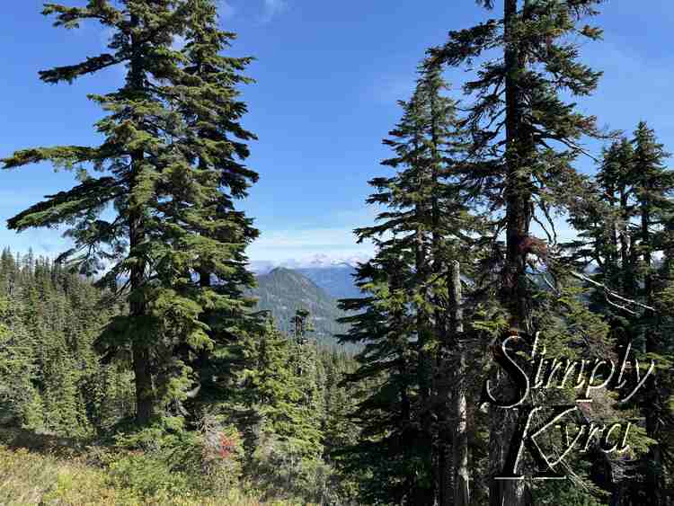
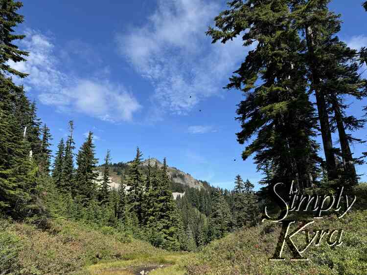
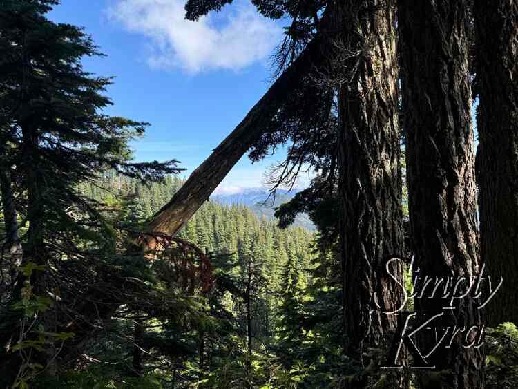
Continuing Up
And on we go!
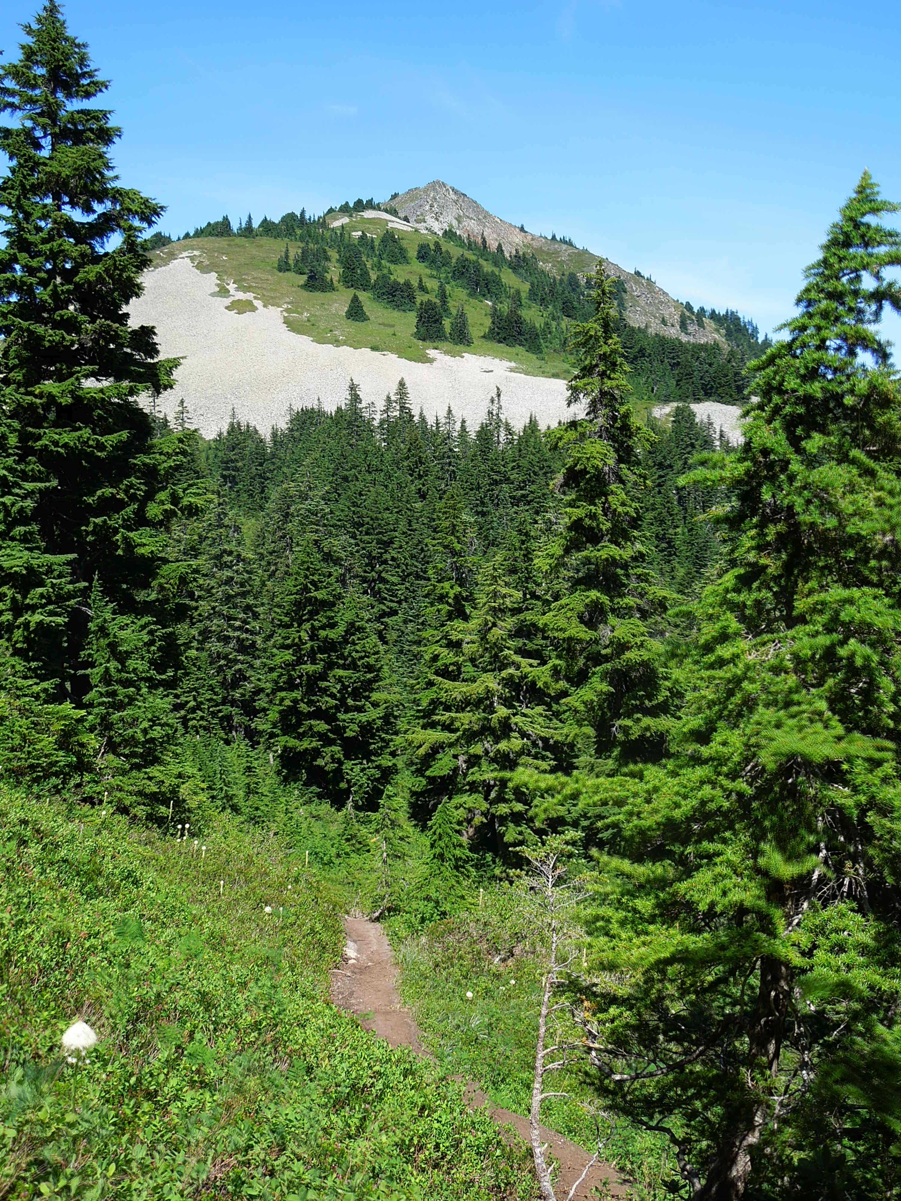
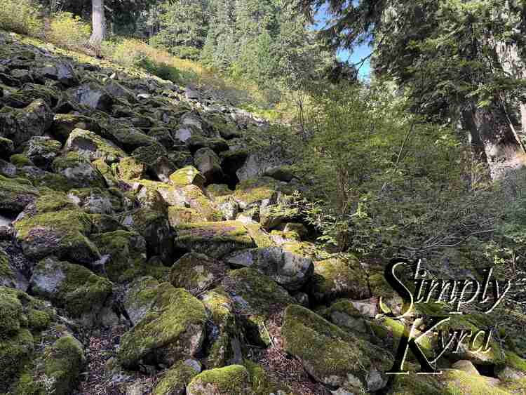
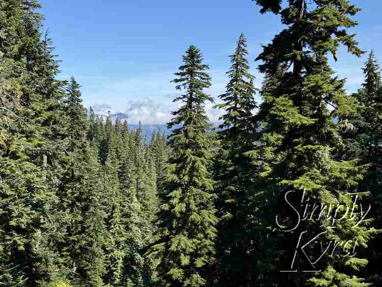
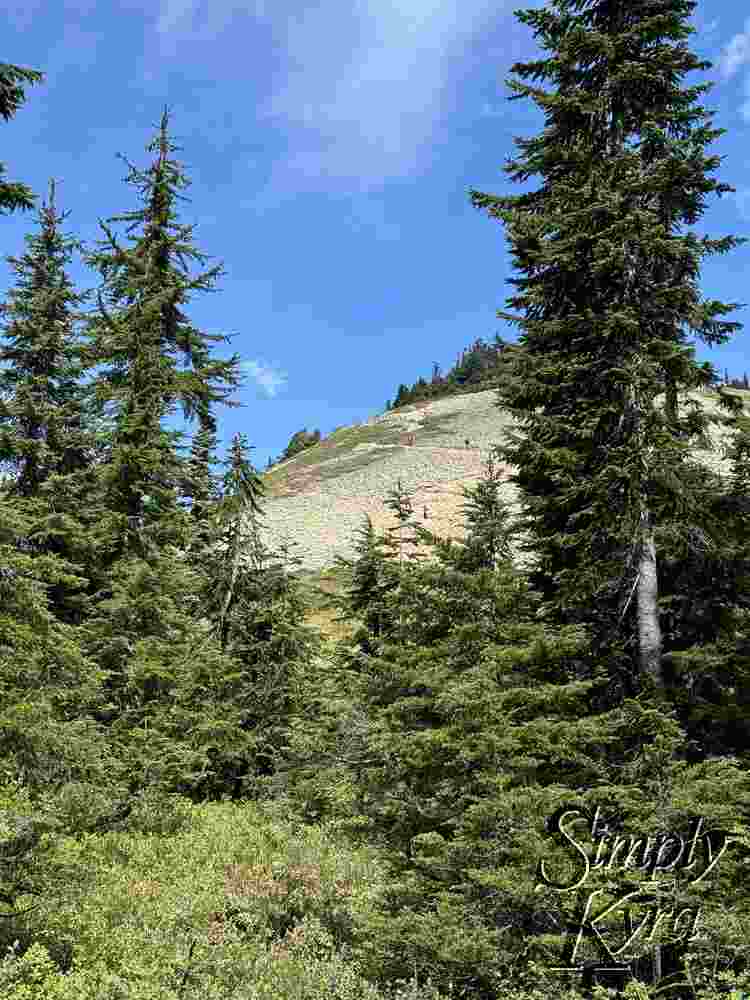
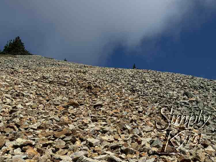
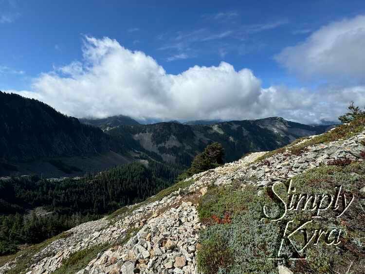
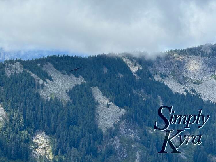
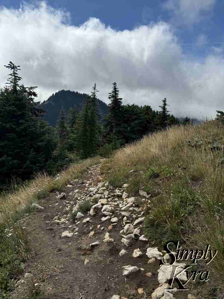
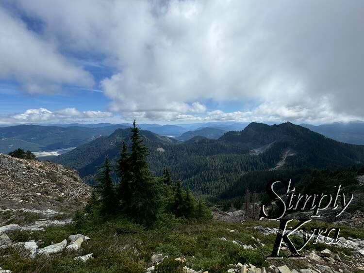
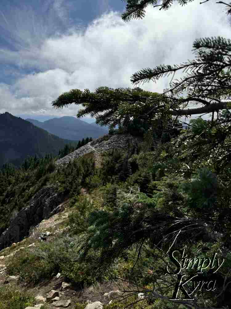
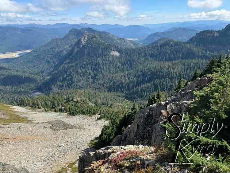
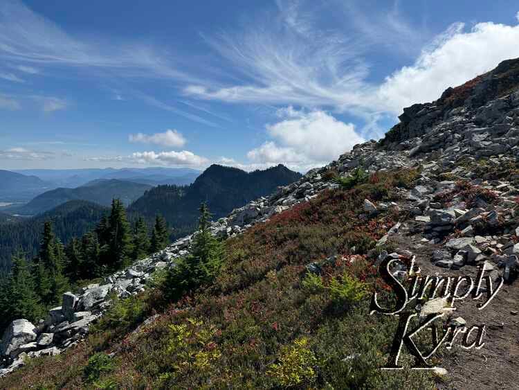
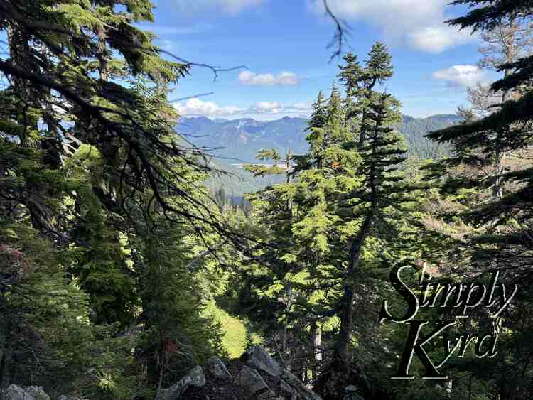
Approaching Talus Fields
At this point you start seeing the hint of the talus field through the trees... and if you look close you can see the trail in the rocks. Still a bit to go. It kept appearing and disappearing in the trees.
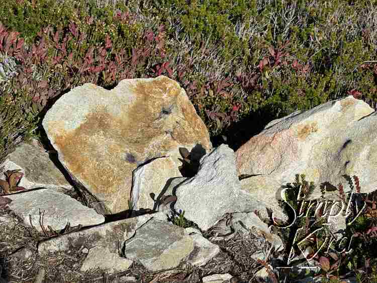
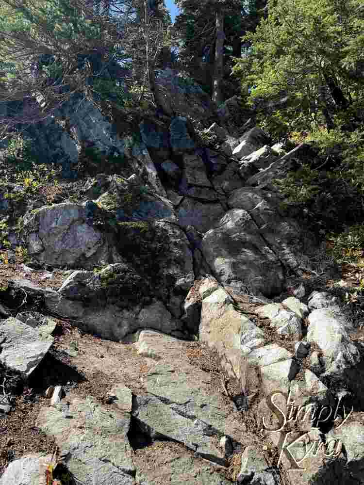
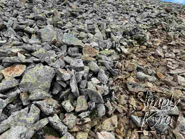
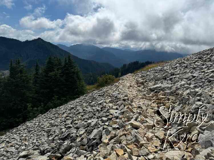
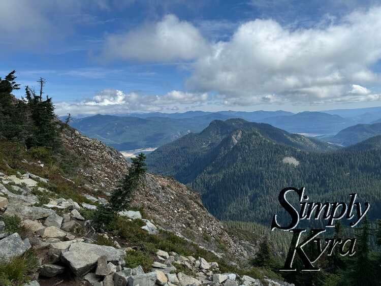
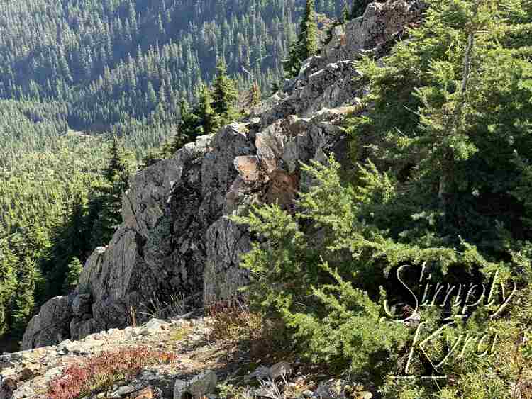
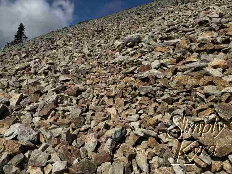
Talus Slope
I thought the path would be easy to spot once on it, but up close the color differences between rocks were subtle... it’s easy to lose your way. When I paused, I couldn’t help switching between snapping photos of the views and the patterns in the rocks.
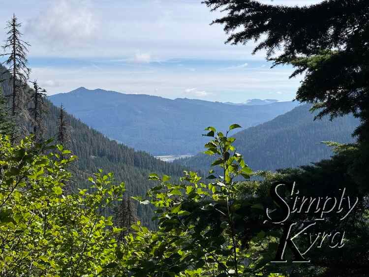
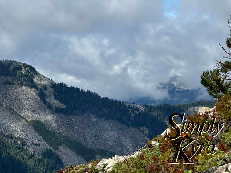
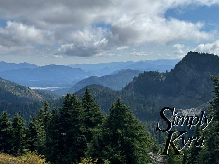
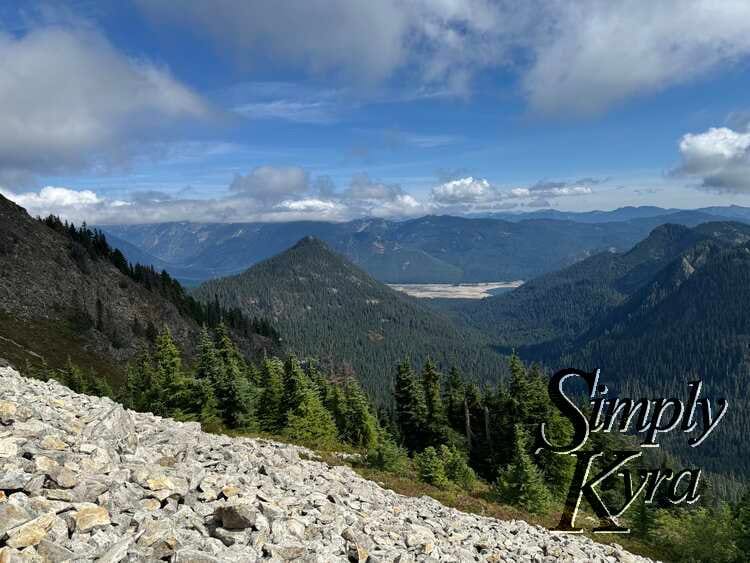
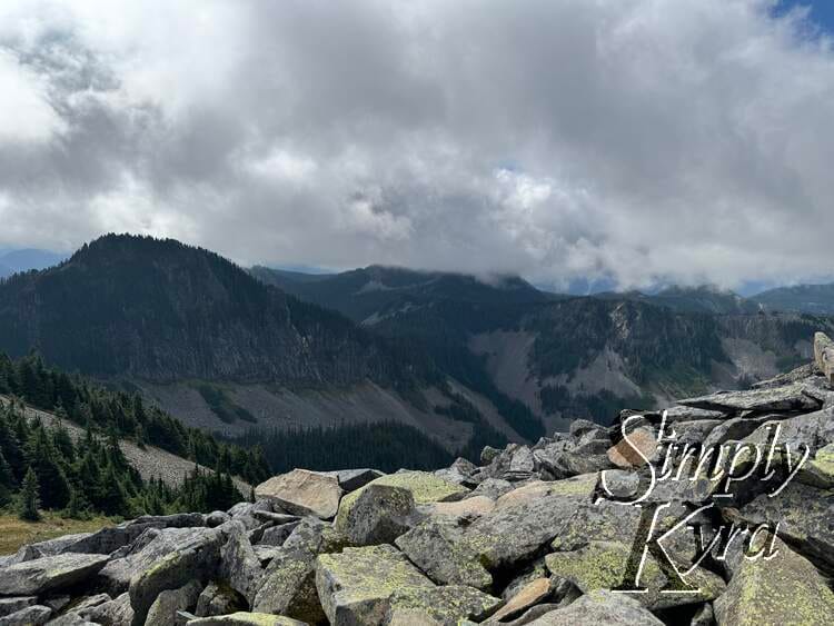
Top of the Talus Field
The views were incredible!

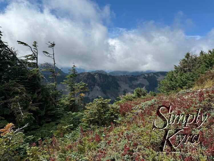
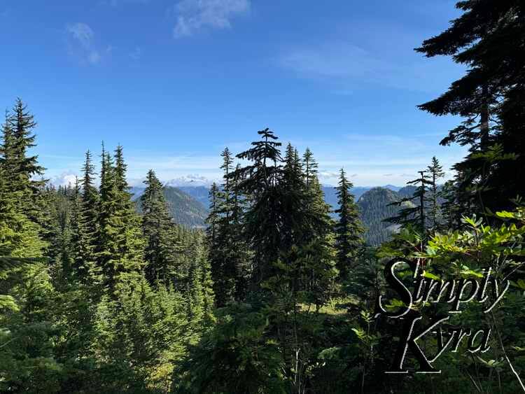
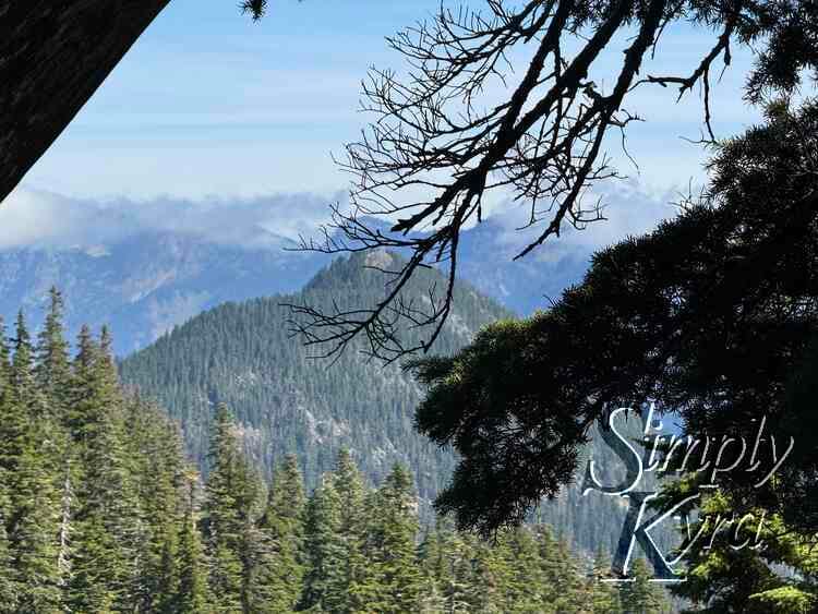
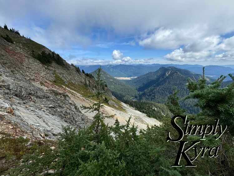
Onward
And then we continued on...

Mini Talus
This field was downright simple after the larger one!

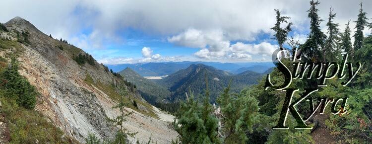

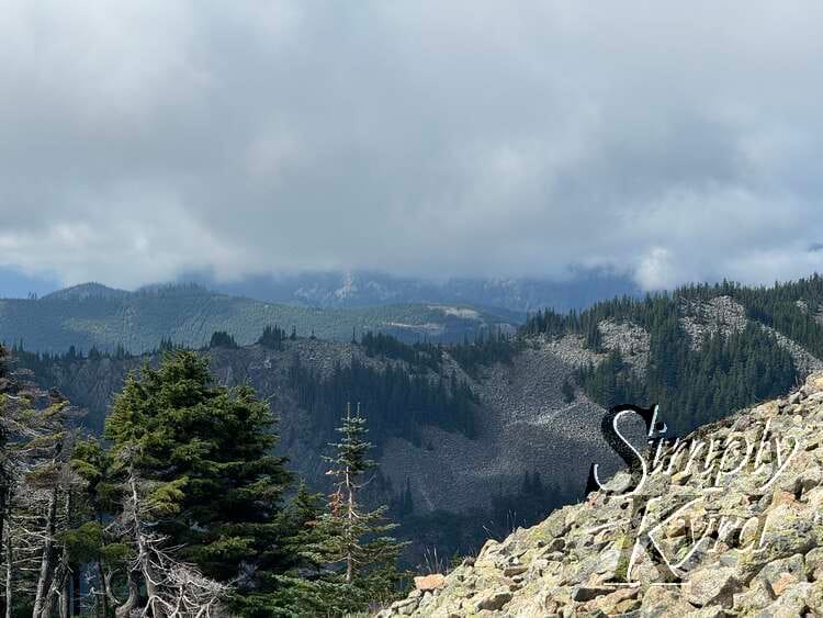
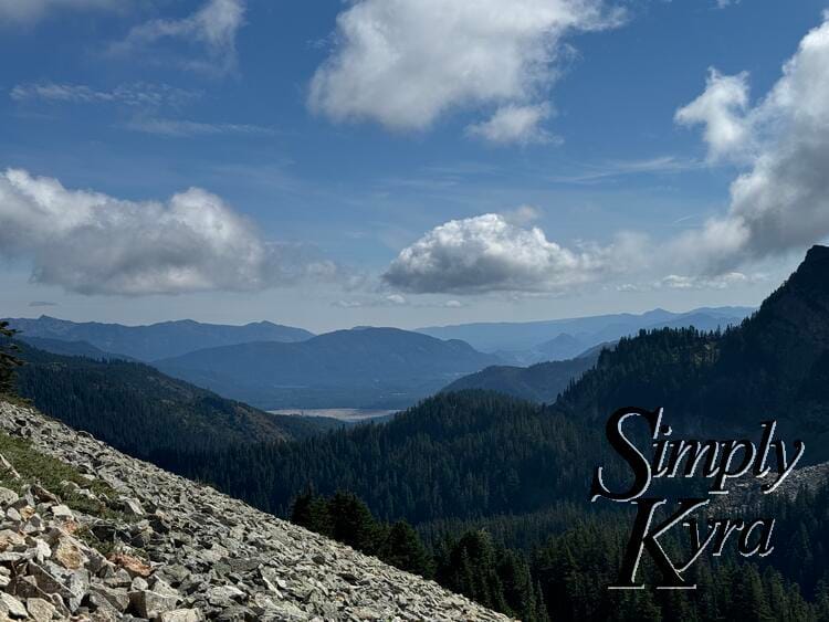
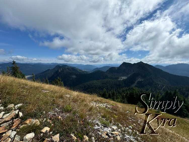
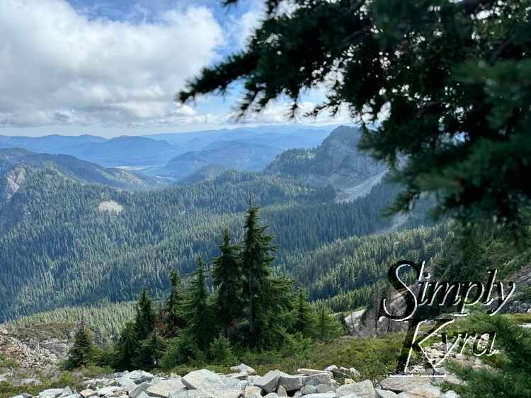
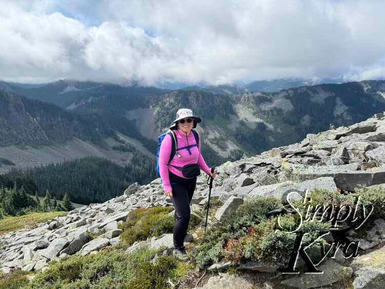
Food Break
The food break had such epic views!

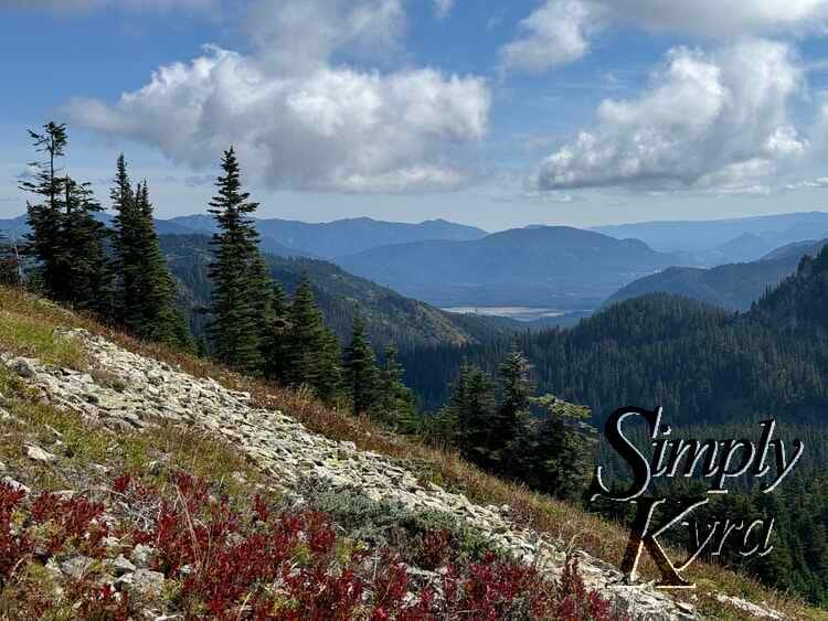
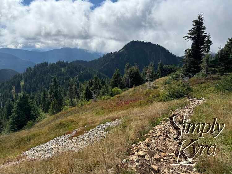
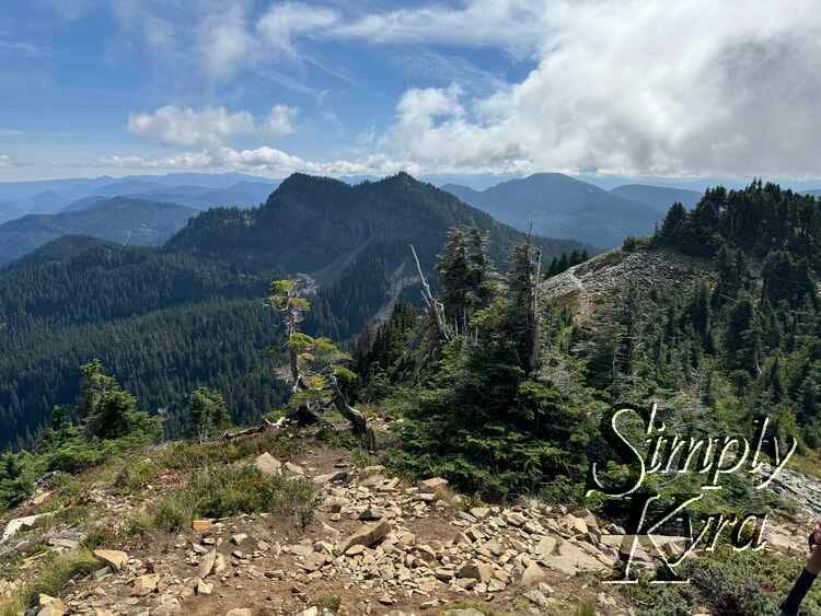
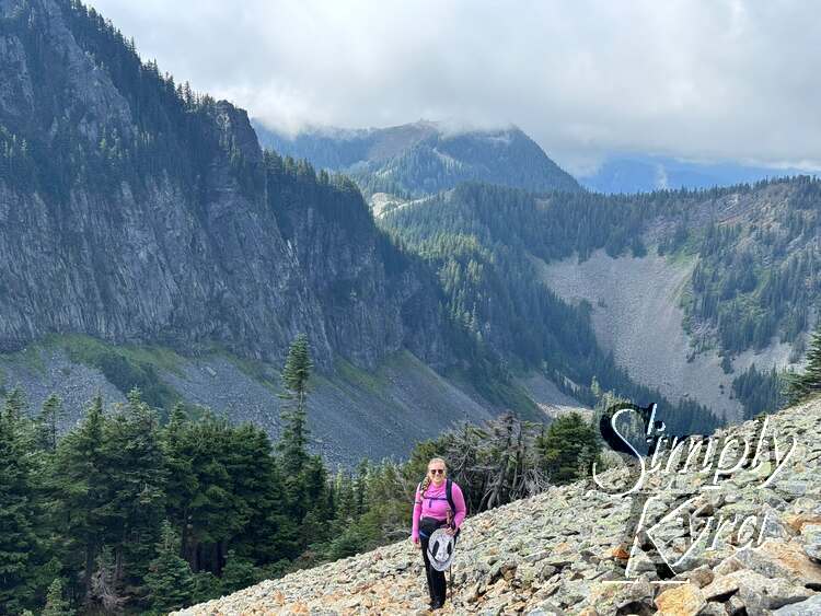
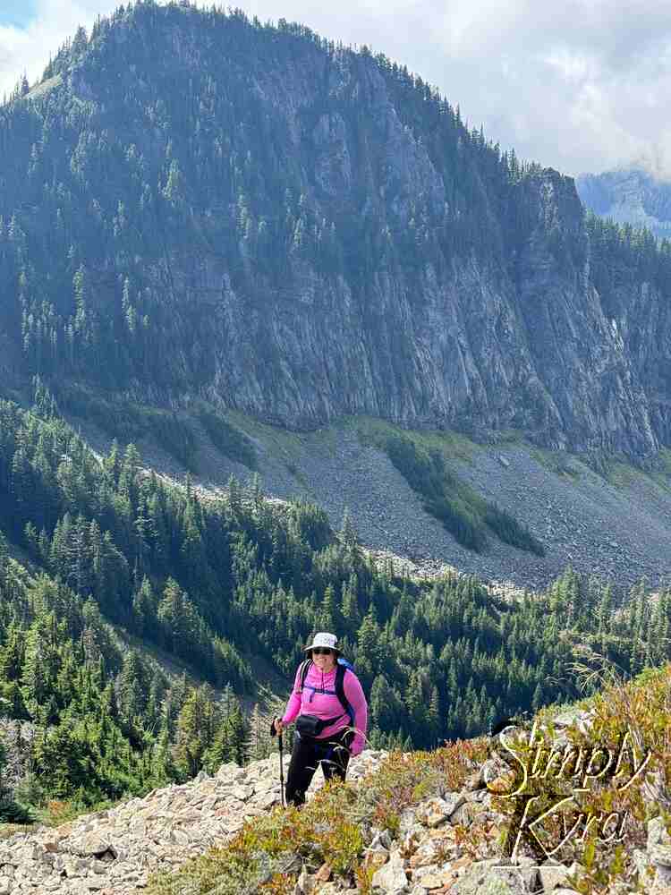
Turnaround Point
We were so close to the top! Part of me wanted to keep going, but it was getting late and we still had the hike and drive back. Looking back, I’m glad we turned around when we did.
Heading Back Down
And on our way back down with a few more pauses for photos along the way.


Talus Field Going Down
Let me tell you going down seemed almost scarier than going up. Not sure if what ratio was being tired and what ratio was having to look down.


Talus is Done! Onward and Down

Every hike teaches me something new and Silver Peak was a reminder that turning back can still mean a perfect day! I hope these photos bring a bit of that calm mountain air your way and that you’re having a wonderful day wherever you are.
If you’re interested in getting any of my future blog updates I normally share them to my Facebook page and Instagram account. You’re also more than welcome to join my email list located right under the search bar or underneath this post.
Did this save you time?